 The Shape of Things: How Mapmakers Picture Our World, by Dean Robbins/Illustrated by Matt Tavares, (Aug. 2024, Knopf Books for Young Readers), $19.99, ISBN: 9780593479254
Ages 4-8
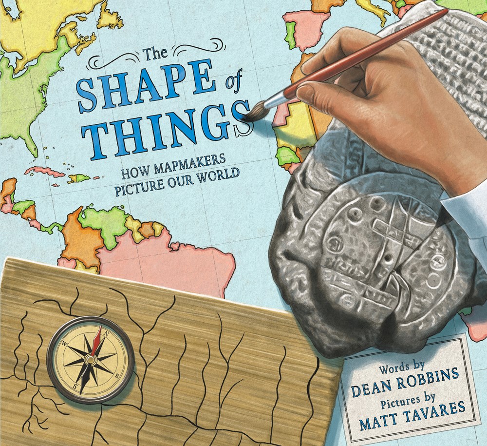
An extraordinary discussion on the development of maps, Robbins provides an insight into human history as Tavares illustrates how different eras created maps to make sense of their world. Beginning with the first cultures to make maps using cave drawings and mammoth tusks, Robbins describes how mapmaking developed with humans, going from rocks to papyrus and ink to digital technology; as humans explored the planet, maps became more detailed, including paths connecting cities, rivers, and oceans. Flat, one-dimensional maps gave way to globes and tools like the compass, Gunter’s chain, and satellites, and computers. Robbins skillfully explains how humanity came together with the goal to explore and define the world we share; Tavares’s digital illustrations show realistic depictions of people through different eras creating various maps, allowing readers to see the changes in landscape, cultures, and technology. The story of maps is the story of mankind, beautifully told here. Endpapers depict shards of an early map and a car-mounted smartphone GPS. Back matter includes an illustrated mapmaking timeline, a bibliography, and notes on mapmaking. Developing mapmakers will return to this book again and again.

 “Map lovers and readers interested in the development of knowledge and technology will be drawn to Robbins’ look at how we, over millennia, have documented Earth’s shape.” —Booklist
Matt Tavares is a New York Times bestselling author-illustrator of over twenty titles. His books have been featured in: ALA Notable, Parents’ Choice Gold Awards, and twelve were chosen for the Society of Illustrators Original Art exhibit. His artwork has been exhibited at the Brandywine River Museum, the Eric Carle Museum, and the Mazza Museum. Matt lives in Maine with his wife, Sarah, and their two daughters. Visit his website: matttavares.com
